The First Descent: Maldives Mission marked the first comprehensive survey and sampling of the Maldives deep ocean, exploring depths from the surface down to 1,000 metres. Despite being one of the most biodiverse marine environments, almost nothing was known about what lies below 30 metres. This mission, in partnership with the Government of Maldives, aimed to fill this critical knowledge gap and support the creation of extensive new marine protected areas, ensuring that the ocean continues to protect and sustain the Maldivian people.
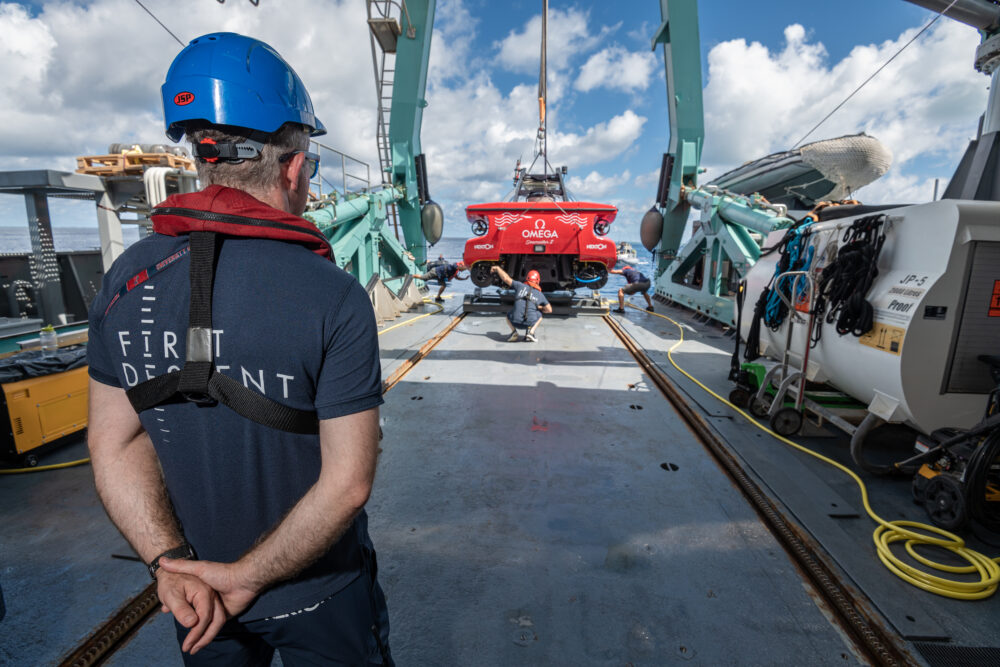
Expeditions: The field phase was conducted aboard the MV Odyssey for 30 days and the Dhinasha for 10 days, covering a 590 km stretch from North Malé to Addu Atoll.
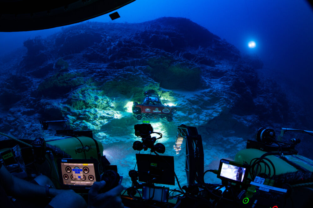
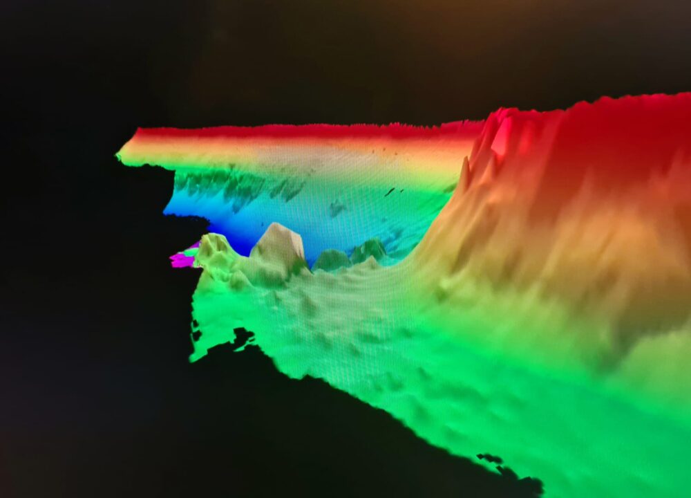
Discovery of the Trapping Zone: One of the mission’s most significant findings was the discovery of a potentially new ecosystem at 500 metres depth, known as the “Trapping Zone.”
Taxonomic Workshop: Held at Maniyafushi Research Station in the Maldives, the workshop was co-hosted by Nekton and the Maldives Marine Research Institute (MMRI). Maldivian participants from various organisations engaged in species identification and received specialised training, contributing to ongoing research and future publications.
Voice of the Maldives campaign: Amplifying the voices of Maldivian scientists, policymakers, and conservationists, the Voice of The Maldives campaign brought the stories of the Maldives to a global stage. These films and outreach championed the people driving change across this vital region.
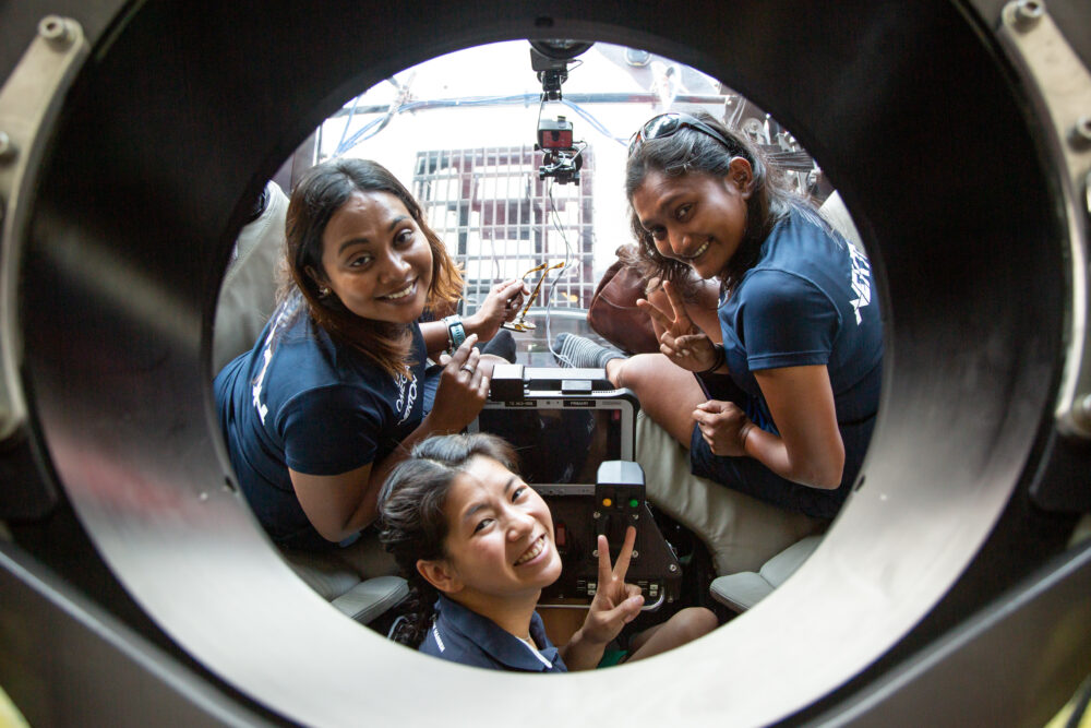
Maldives Knowledge Exchange Expedition (MKEE’22): The planning phase included the Maldives Knowledge Exchange Expedition, a joint applied marine research and knowledge exchange programme conducted over ten days. The programme brought together 12 scientists from the Maldives, India, Sri Lanka, the EU, and the UK. It laid the groundwork for the Nekton-Maldives mission, focusing on building regional capacity and co-developing research objectives with local scientists.
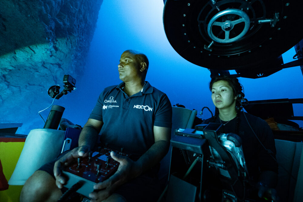
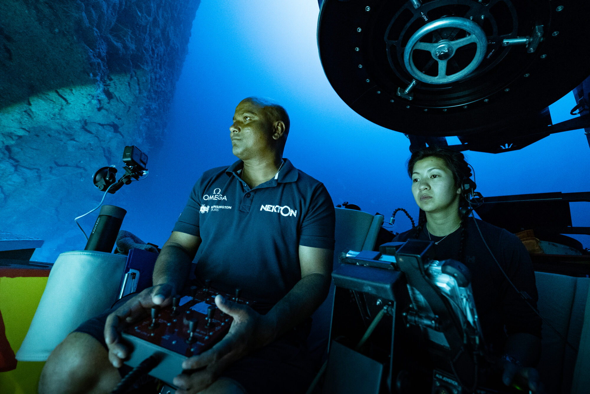
Expeditions: The field phase was conducted aboard the MV Odyssey for 30 days and the Dhinasha for 10 days, covering a 590 km stretch from North Malé to Addu Atoll. The team of 39 scientific personnel and crew focused on documenting a full range of biological and environmental parameters across seven key sites, with a particular focus on the north and north-east aspects of the atolls.
One of the mission’s most significant findings was the discovery of a new ecosystem at 500 metres depth, known as the “Trapping Zone.” This discovery attracted international attention and greatly enhanced the scientific understanding of deep-sea ecosystems in the Maldives.
Held at Maniyafushi Research Station in the Maldives, the workshop was co-hosted by Nekton and the Maldives Marine Research Institute (MMRI). Maldivian participants from various organisations engaged in species identification and received specialised training, contributing to ongoing research and future publications.
The first results from the mission were released, providing a detailed analysis of the newly discovered species and ecosystems. These findings are expected to have significant implications for marine conservation and policy development in the Maldives.
Conducted at the Nekton Laboratory in Oxford, this programme focused on training Maldivian scientists in identifying zooplankton species. The training, supported by Nekton experts, is intended to aid in the future publication of zooplankton samples collected during the mission.
The science team onboard the RV Odyssey produced several papers based on the findings from the mission. Key publications include the results from the Nekton Maldives taxonomic workshop and the Maldives Benthic ID guide. These publications are critical for advancing the understanding of the region’s biodiversity and informing future research and conservation efforts.